COSTA RICA / REGIONS & FIELD KNOWLEDGE
A PHOTOGRAPHER'S GUIDE TO PLACE, ACCESS AND PRODUCTIONCosta Rica, understood from the ground
Christopher Alga has photographed across Costa Rica for more than 18 years, working from San José through the Central Valley, both coasts, volcanic highlands, cloud forests and remote conservation areas.
This regional guide brings together practical field knowledge, visual context and direct pathways to each province. It supports editorial research, location planning and productions that need informed local access.
Costa Rica Provinces: A Photographer's Field Guide
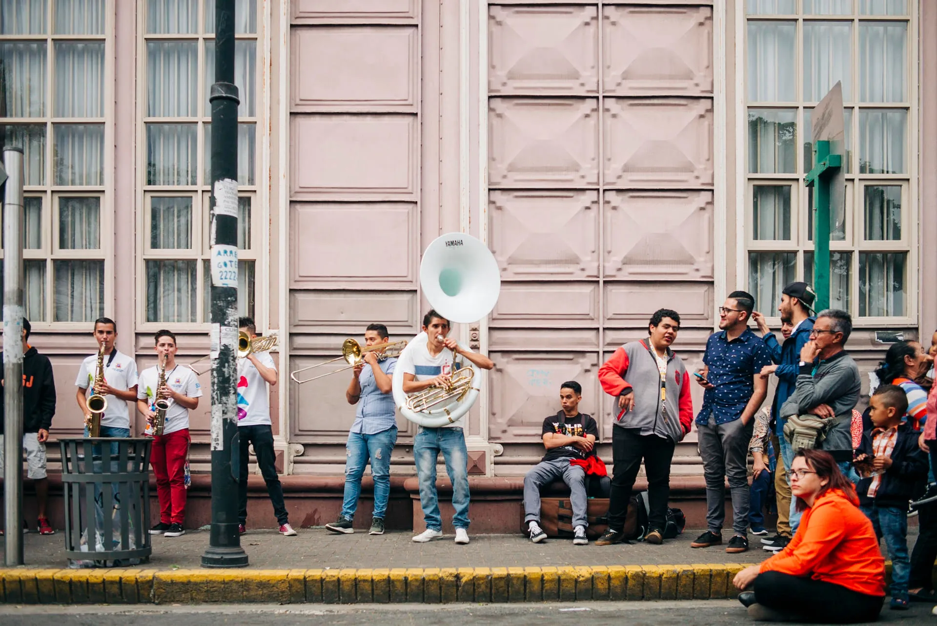
San José Province: Urban Stories and Central Valley Culture
San José is my base and the easiest place in Costa Rica to build an efficient editorial or commercial production. The useful contrast is between dense urban streets, offices and institutions in the city, and the cooler coffee-growing hills that begin just outside it. For assignments here, I plan around traffic, access, interior permissions and the hard midday light that can make exterior work unforgiving. Early morning, late afternoon and controlled interiors are usually the most reliable windows. When architecture is part of the brief, access and permissions matter more than simply choosing a landmark. I confirm interiors and institutional restrictions before building the shooting schedule.
Capital of Costa Rica
San José Photography
Alajuela Province: Volcanoes & Coffee Culture
Alajuela is one of the regions where volcanic landscape, agriculture and tourism production overlap most clearly. I have worked around coffee, rural communities, hotels and the Arenal area, where weather can change within minutes. Arenal is visually powerful but unreliable on command: the volcano can disappear behind cloud for hours. I build alternate locations into the day and never assume a distant landscape will remain visible because it was clear at sunrise. The region works well for hospitality, agriculture, conservation and editorial assignments when the schedule stays flexible.
Volcanoes & Coffee
Alajuela Photography
Limón Province: Caribbean Coast Culture & Jungle
Limón and the Caribbean coast require a different production rhythm from the Pacific. Humidity is higher, rain is less predictable by season, vegetation is denser and the cultural context is distinctly Afro-Caribbean. I plan assignments here with more weather tolerance, realistic travel time and extra protection for equipment.
Caribbean Culture & Jungle
Limón Photography
Cartago Province: High-Altitude Cloud Forests
Cartago combines high elevation, agriculture, cloud forest and mountain weather. Mornings can be clear and cold, cloud can arrive quickly, and roads into rural areas can slow a production more than the map suggests. For documentary, conservation and agricultural assignments, I plan for layers, waterproofing and enough time for conditions to change rather than forcing a fixed shot list into unstable weather.
Nature & Cloud Forest
Cartago Photography
Heredia Province: Coffee Heritage & Rain Forest Gateway
Heredia sits close to San José but quickly transitions into coffee farms, cooler elevations and wetter forest. That makes it useful for assignments that need to move between urban, institutional and agricultural settings without losing a full day to travel. Light changes quickly once you climb into the hills, and cloud cover can be an advantage for portraiture and documentary work.
Coffee & Rain Forest
Heredia Photography
Guanacaste Costa Rica: Pacific Beaches & Dry Forests
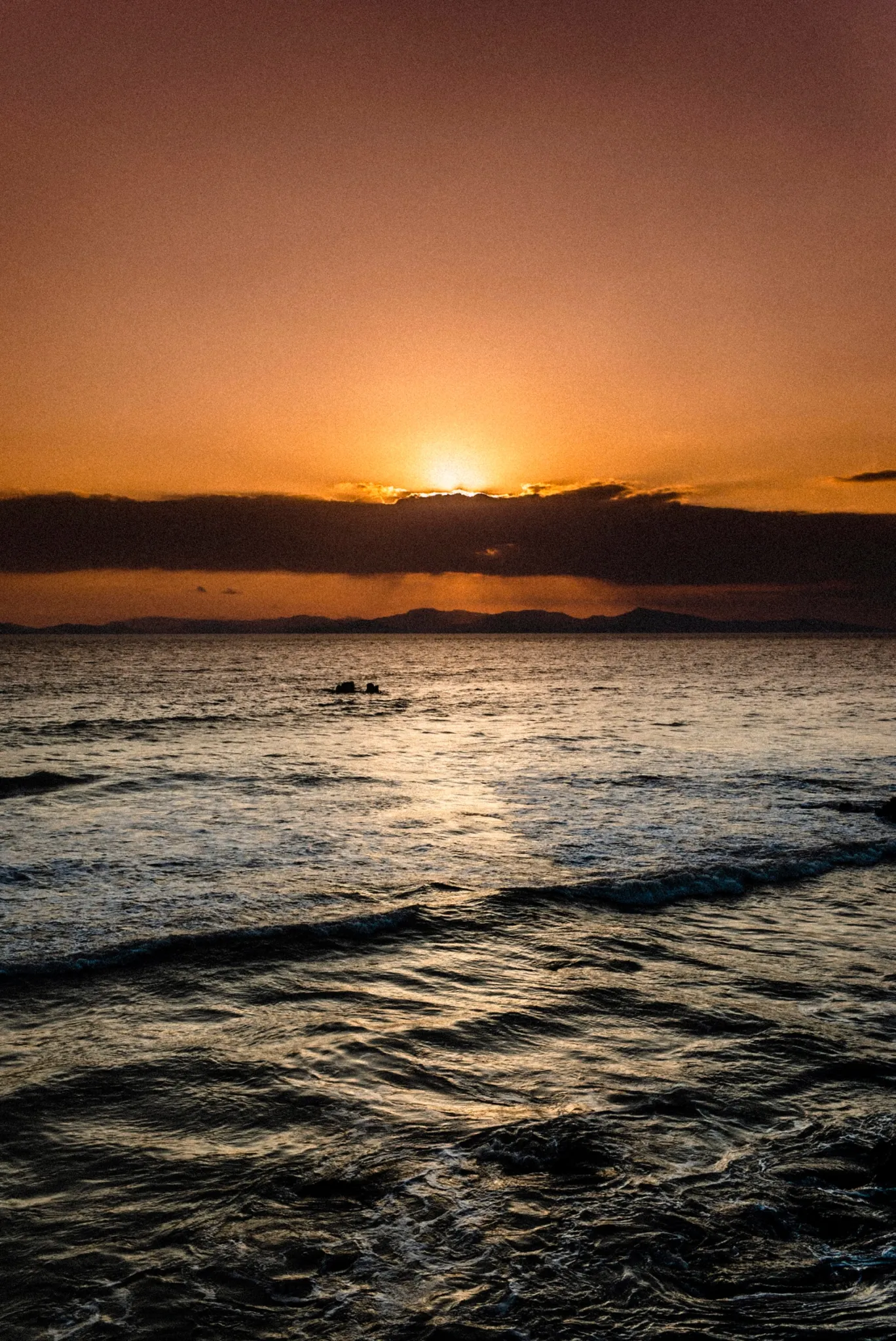
Guanacaste has the most pronounced seasonal visual change in Costa Rica. In the dry season the landscape can turn pale, dusty and graphic; in the green season it becomes dense and saturated within weeks. I have photographed resorts, beaches, rural areas and documentary assignments here. The practical issue is heat: midday exterior work is physically demanding and visually harsh, so I normally build schedules around early starts, late light and shaded interiors, with extra time for long coastal transfers.
Beach Towns & Sunsets
Guanacaste Photography
Puntarenas Province: Pacific Coast Diversity
Puntarenas is too large and varied to treat as one photographic environment. The central Pacific, Nicoya Peninsula, Monteverde access routes and the Osa Peninsula each behave differently in weather, roads, light and production logistics. Some assignments are easy day trips; others require boats, four-wheel drive, domestic flights or overnight planning. For editorial and documentary work, the first question is how much time the location actually requires to reach, understand and work in properly.
Pacific Coast & Jungle
Puntarenas Photography
Photography Throughout Costa Rica
Beyond specific locations, Costa Rica offers diverse photographic subjectsAssignments shaped by terrain and season
Costa Rica moves quickly between tropical dry forest, cloud forest, rainforest, volcanic highlands and two distinct coastlines. Each environment changes access, light, weather and production requirements.
Christopher works across wildlife and conservation, documentary, editorial, hospitality and commercial assignments, adapting crews and equipment to the location.
Practical field planning
The dry season generally runs from December through April; the green season from May through November. Conditions vary sharply by coast and elevation, so scheduling depends on the subject, not a single national forecast.
Local production knowledge helps with permits, travel time, weather windows, protected areas and access to remote locations. For commissioned work, see Costa Rica photography and production support ↗.
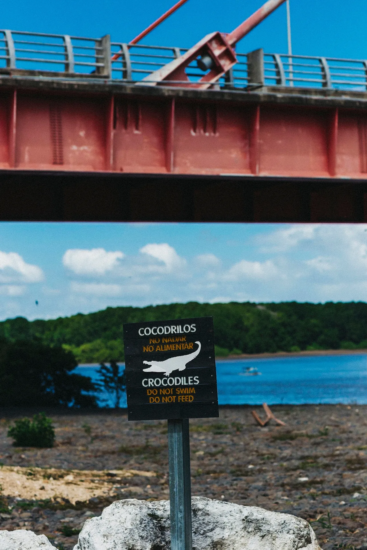
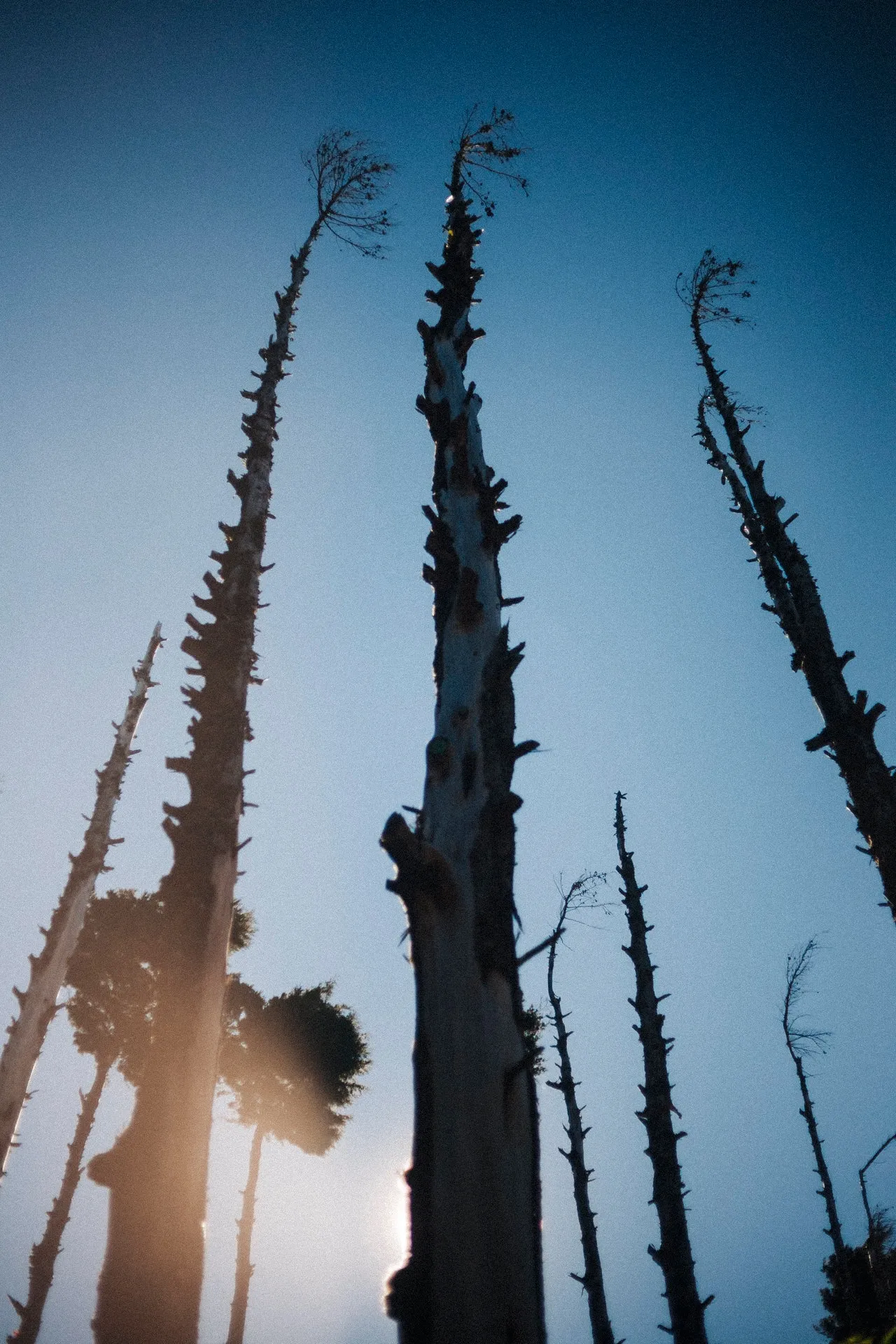
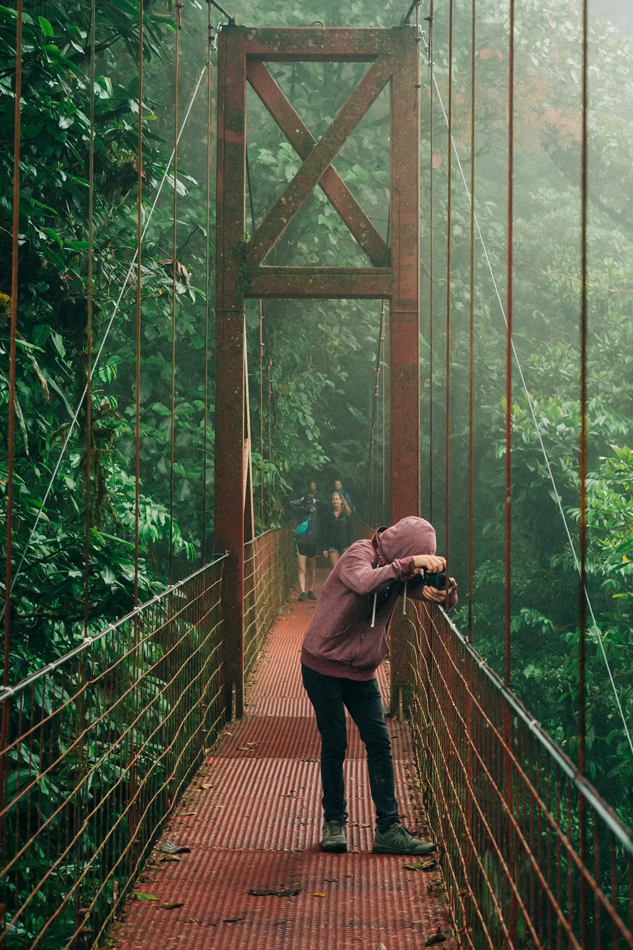
The value of regional experience is practical: knowing what changes between provinces, when a location is workable, and how to build a responsible production around the place rather than forcing the place around the production.
Plan a Costa Rica assignment
Share the locations, dates, intended use and required deliverables. Christopher can advise on access, scheduling, local production and the right visual approach for assignments anywhere in Costa Rica.